

Drone Surveying
- High-resolution aerial imagery
- Orthomosaic generation
- 3D modeling
- Volumetric calculations
- Site progress monitoring
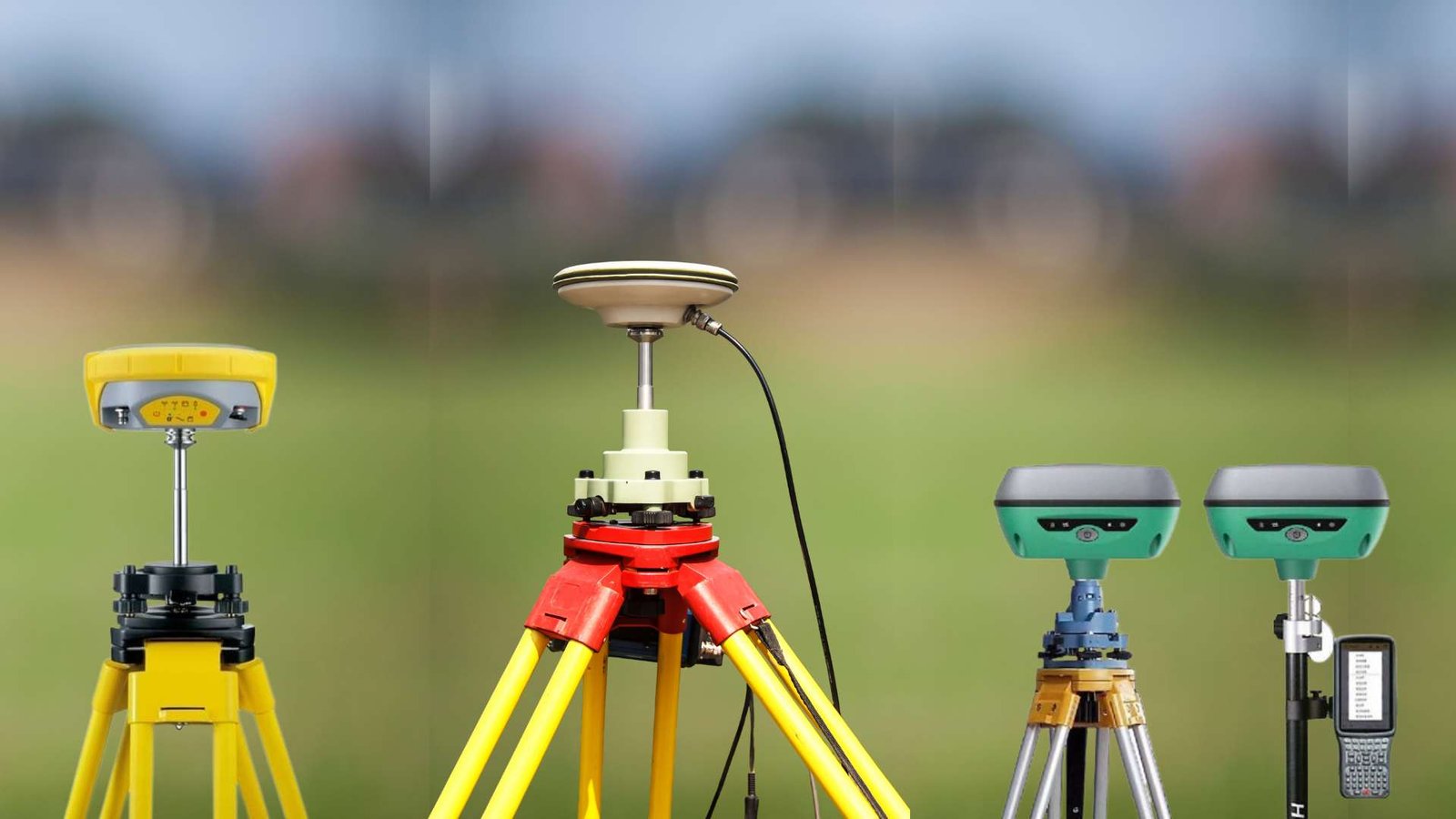
DGPS Surveying
- Precise positioning and mapping
- Control point establishment
- Boundary surveys
- GIS data collection
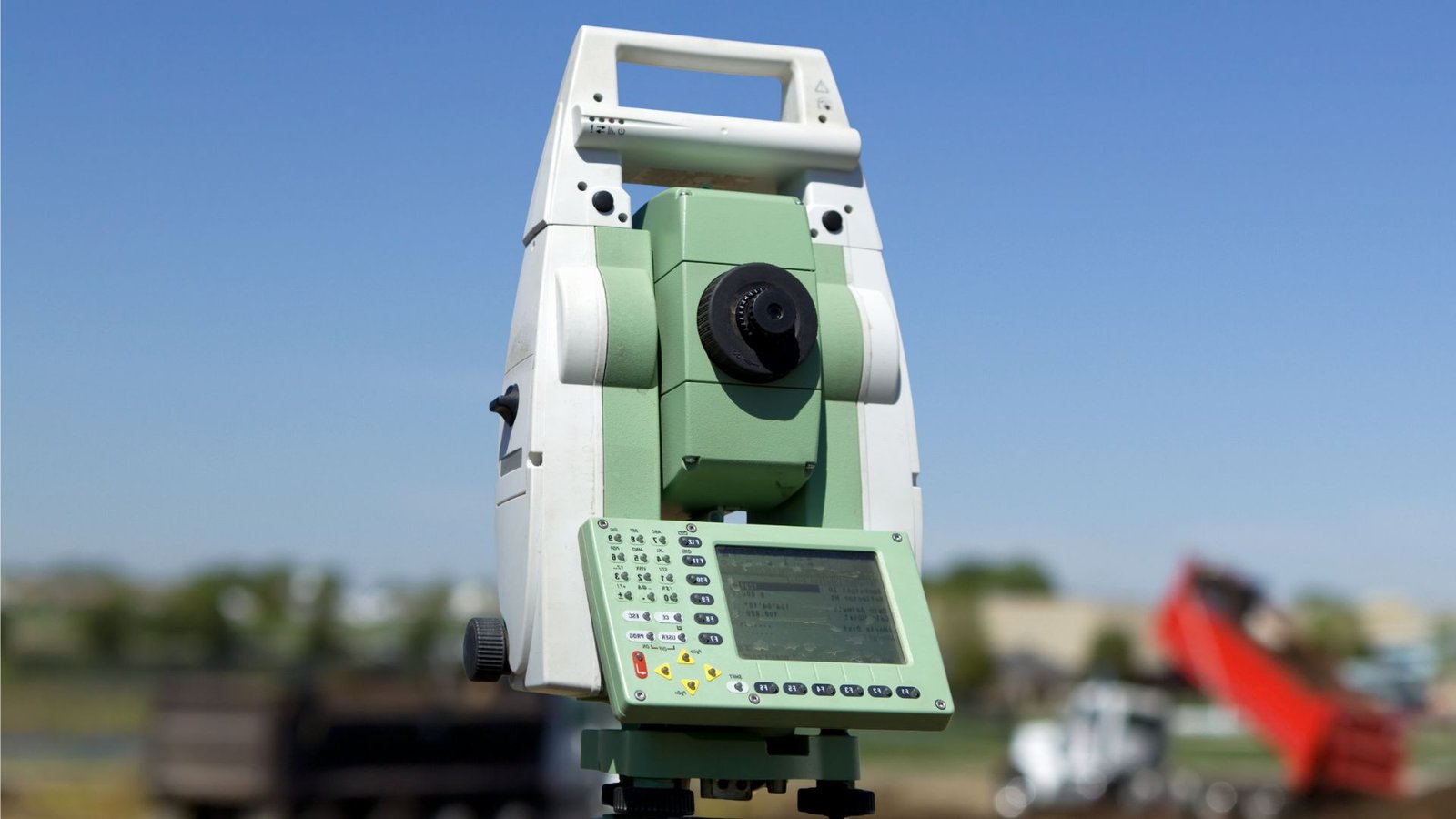
Total Station Surveying
- Detailed topographic surveys
- Construction layout
- As-built surveys
- Precise measurements for engineering projects
LiDAR Surveying
- High Precision
- Fast Data Acquisition
- Detailed 3D Models
- Vegetation Penetration
- Versatile Applications

GPR Surveying
- Non-Destructive
- High Resolution
- Real-Time Data Collection
- Versatility
- Depth Penetration

CALL US
For Business Enquiries feel free to Call Us
Contact Us
Voice Of The Customer
Geogrid Survey Solutions handled our township planning survey. Their team is highly proficient in DGPS Surveying, ensuring our boundary markings were precise to the centimeter. It saved us a lot of potential legal headaches during the layout phase.

Real Estate Developer
The best part about Geogrid is their expertise in Drone-based volumetric analysis. We use them monthly for stockpile measurements. The speed of the drone survey compared to traditional methods is a game-changer for our operational efficiency.

Mining Consultant
Excellent service for Total Station surveying. We needed a quick turnaround for a bridge site analysis, and Geogrid delivered within the deadline. Their technical reports are very clean and easy for our design team to integrate into CAD.

Civil Engineer
Geogrid Survey Solutions is our go-to for GIS mapping. Their DGPS and drone data integration is seamless. They have a deep understanding of the local topography in India, which makes their insights very reliable for government projects.

Urban Planner
We hired Geogrid for a large-scale highway expansion project. Their Drone Surveying capabilities are top-notch; the high-resolution orthomosaics and contour maps they provided were far more detailed than what we’ve received from other vendors. Highly recommended for accuracy.

Infrastructure Project Manager